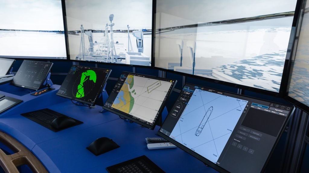
Esri has introduced new functionalities in its ArcGIS Maritime software to allow maritime organisations to create nautical charts that meet S-100 standards.
ArcGIS Maritime is a platform used for the management and production of maritime data that aligns with the International Hydrographic Organization’s (IHO) S-100 standards, S-57 standards, and the MIL-PRF-89023 specification for Digital Nautical Charts, explains Esri.
The system includes tools for building maritime databases, importing and displaying data, editing information, and exporting finished products.
The adoption of S-100 charting is intended to help organisations work with current spatial data and technologies. It is expected to positively impact navigation, safety, and situational awareness in the maritime sector, stated the company.
IHO’s new S-100 series provides a framework for electronic navigational charts and associated marine data. This framework is designed to support a range of current and future maritime data needs.
Esri’s national government senior business development manager Geoff Dean said: “The core mission of maritime authorities like hydrographic offices is supporting safe navigation, but they are increasingly being called upon to support broader priorities like the blue economy and environmental stewardship.
“Combining the interoperability of the S-100 framework with modern GIS technologies like ArcGIS enables real-time decision-making, automation, and interagency coordination.
“These are key elements of a geospatial framework that prepares hydrographic offices for efficiently meeting the evolving demands placed on them.”
The updates to ArcGIS Maritime will also allow maritime organisations to produce S-57 and S-101 charts at the same time, which supports the use of geographic information systems (GIS) in their operations.
Plans are in place to discontinue S-57 products by 2034.
As maritime organisations move from S-57 standards to the S-100 series, hydrographic offices are required to produce both types of charts.
This approach ensures that vessels using electronic chart display and information systems without S-100 support can continue to access necessary chart information.
The company says managing both S-57 and S-100 chart standards, described as the “dual fuel” requirement, at the same time can add to operational complexity, create redundancies, and cause inefficiencies.
Esri plans to demonstrate these new ArcGIS Maritime capabilities at the Hydro 2025 conference, scheduled between 28 October and 30 October in Liverpool, UK.