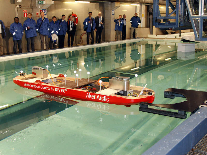
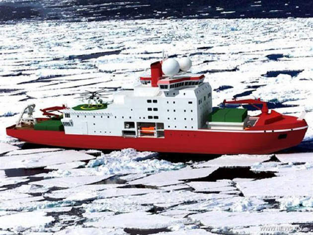
Aker Arctic and ICEYE Partner to Deliver Information on Ice Conditions
Aker Arctic Technology Inc and ICEYE have announced a partnership for the development and provision of ice information and related services for vessels operating in icy conditions.
Combining the new synthetic-aperture radar (SAR) data from the microsatellites with data from maritime environments provides new and cost-efficient service to marine users. During the one-year pilot phase, Aker Arctic aims to develop and test the services with its partners.
During the first year, ICEYE will launch also two more satellites, which will be included in the service. The service aims to increase situational awareness in the polar sea areas.
Aker Arctic sees benefits of the new SAR data to improve understanding of the ice conditions in certain specific areas, thus also supporting the development of the new shipping routes and maritime construction.
With extensive experience in Arctic sea technology and the greater maritime industry, Aker Arctic will utilise ICEYE’s SAR data, collected with satellites such as ICEYE-X1, to extend and improve services to the customers of Aker Arctic.
ICEYE is on track to launch its next SAR-enabled satellite, ICEYE-X2, as soon as during this summer. Providing high-resolution images and extensive global data, ICEYE’s vision is to launch a constellation of up to 18 SAR satellites to allow users to accurately image any point on Earth every few hours.
Aker Artic is a leading designer of the ice-class vessels and ICEYE is a leader in SAR technology for microsatellites.